
Cordes topographic map
Interactive map
Click on the map to display elevation.
About this map
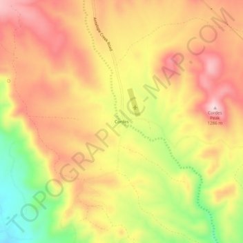
Name: Cordes topographic map, elevation, terrain.
Location: Cordes, Yavapai County, Arizona, États-Unis (34.28336 -112.18683 34.32336 -112.14683)
Average elevation: 3,839 ft
Minimum elevation: 3,287 ft
Maximum elevation: 4,222 ft