
Aceguá topographic map
Interactive map
Click on the map to display elevation.
About this map
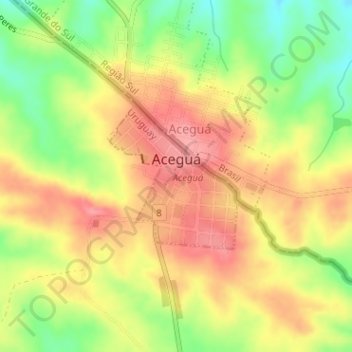
Name: Aceguá topographic map, elevation, terrain.
Location: Aceguá, Cerro Largo, 37001, Uruguai (-31.87876 -54.16882 -31.86757 -54.15728)
Average elevation: 797 ft
Minimum elevation: 627 ft
Maximum elevation: 928 ft