
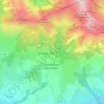
Saint-Michel-de-Chaillol topographic map
Interactive map
Click on the map to display elevation.
About this map
Name: Saint-Michel-de-Chaillol topographic map, elevation, terrain.
Average elevation: 5,551 ft
Minimum elevation: 3,606 ft
Maximum elevation: 8,881 ft
Commune au nord de la vallée du Champsaur à 1 450 mètres d'altitude. Elle se situe à 30 kilomètres au nord de Gap. On peut y accéder par La Villette, Saint-Michel et Saint-Bonnet.