
Раван topographic map
Interactive map
Click on the map to display elevation.
About this map
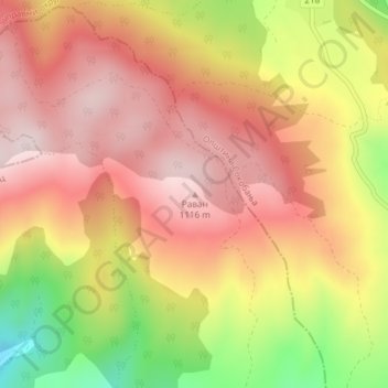
Name: Раван topographic map, elevation, terrain.
Average elevation: 3,212 ft
Minimum elevation: 2,402 ft
Maximum elevation: 3,707 ft
Other topographic maps
Click on a map to view its topography, its elevation and its terrain.
Deligrad
Serbia > Central Serbia > Nisava Administrative District > Aleksinac Municipality
Deligrad, Aleksinac Municipality, Nisava Administrative District, Central Serbia, 37217, Serbia
Average elevation: 587 ft