
Kalugala topographic map
Interactive map
Click on the map to display elevation.
About this map
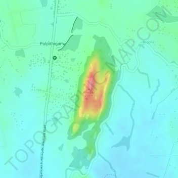
Name: Kalugala topographic map, elevation, terrain.
Average elevation: 446 ft
Minimum elevation: 371 ft
Maximum elevation: 715 ft
Other topographic maps
Click on a map to view its topography, its elevation and its terrain.
Feeder Canal to Bathalagoda Lake from Daduru Oya Anicut
Sri Lanka > North Western Province > Kurunegala
Feeder Canal to Bathalagoda Lake from Daduru Oya Anicut, Kurunegala, Kurunegala District, North Western Province, 60500, Sri Lanka
Average elevation: 417 ft
D 12
Sri Lanka > North Western Province > Kurunegala
D 12, Kurunegala, Kurunegala District, North Western Province, Sri Lanka
Average elevation: 453 ft