
Håvåg topographic map
Interactive map
Click on the map to display elevation.
About this map
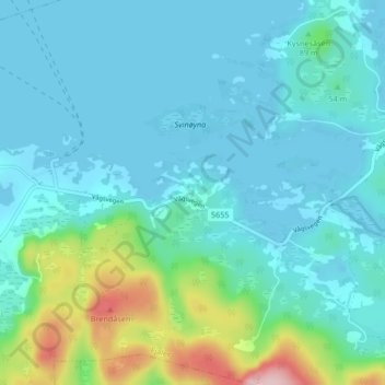
Name: Håvåg topographic map, elevation, terrain.
Location: Håvåg, Fjaler, Vestland, 6967, Norwegen (61.27465 5.09484 61.31465 5.13484)
Average elevation: 125 ft
Minimum elevation: -3 ft
Maximum elevation: 728 ft