
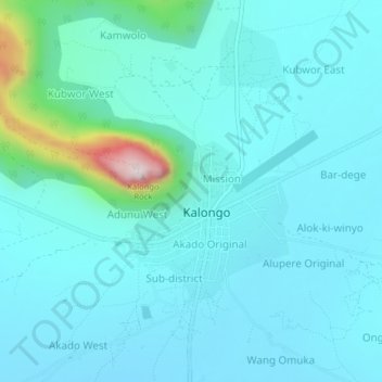
Oret topographic map
Interactive map
Click on the map to display elevation.
About this map
Name: Oret topographic map, elevation, terrain.
Location: Oret, Agago, Northern Region, Ouganda (3.02108 33.34998 3.06108 33.38998)
Average elevation: 3,743 ft
Minimum elevation: 3,520 ft
Maximum elevation: 5,249 ft