
Cramonshagen topographic map
Interactive map
Click on the map to display elevation.
About this map
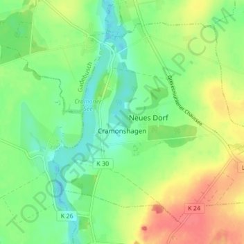
Name: Cramonshagen topographic map, elevation, terrain.
Average elevation: 200 ft
Minimum elevation: 128 ft
Maximum elevation: 295 ft
Other topographic maps
Click on a map to view its topography, its elevation and its terrain.
Neuburg
Allemagne > Mecklembourg-Poméranie-Occidentale > Mecklembourg-du-Nord-Ouest > Neuburg
Neuburg, Mecklembourg-du-Nord-Ouest, Mecklembourg-Poméranie-Occidentale, Allemagne
Average elevation: 121 ft