
Corvera topographic map
Interactive map
Click on the map to display elevation.
About this map
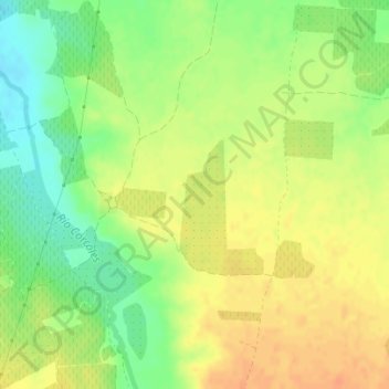
Name: Corvera topographic map, elevation, terrain.
Location: Corvera, Villarrobledo, Albacete, Castile-La Mancha, Spain (39.16870 -2.62788 39.18870 -2.60788)
Average elevation: 2,503 ft
Minimum elevation: 2,431 ft
Maximum elevation: 2,556 ft