
Menta topographic map
Interactive map
Click on the map to display elevation.
About this map
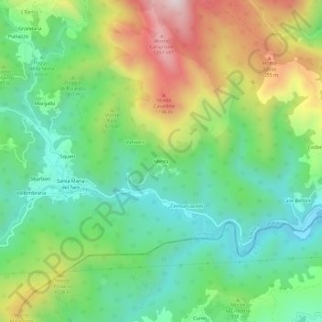
Name: Menta topographic map, elevation, terrain.
Location: Menta, PR, EMR, 43059, Italia (44.41586 9.48711 44.45586 9.52711)
Average elevation: 2,927 ft
Minimum elevation: 2,133 ft
Maximum elevation: 4,357 ft