
Douar Laarab topographic map
Interactive map
Click on the map to display elevation.
About this map
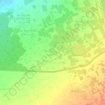
Name: Douar Laarab topographic map, elevation, terrain.
Average elevation: 387 ft
Minimum elevation: 308 ft
Maximum elevation: 456 ft
Other topographic maps
Click on a map to view its topography, its elevation and its terrain.
Douar Laarab
Maroc > cercle d'Aït Melloul > Temsia
Douar Laarab, Temsia, caïdat de Temsia, cercle d'Aït Melloul, Préfecture d'Inezgane-Aït Melloul, Souss-Massa, 86600, Maroc
Average elevation: 223 ft
Temsia
Temsia, caïdat de Temsia, cercle d'Aït Melloul, Préfecture d'Inezgane-Aït Melloul, Souss-Massa, Maroc
Average elevation: 180 ft