
茂霞村 topographic map
Interactive map
Click on the map to display elevation.
About this map
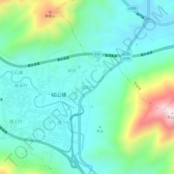
Name: 茂霞村 topographic map, elevation, terrain.
Location: 茂霞村, 永春县, 泉州市, 福建省, 中国 (25.26529 118.24151 25.30529 118.28151)
Average elevation: 965 ft
Minimum elevation: 423 ft
Maximum elevation: 2,710 ft
Other topographic maps
Click on a map to view its topography, its elevation and its terrain.