
Colonia San Carlos topographic map
Interactive map
Click on the map to display elevation.
About this map
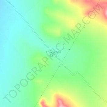
Name: Colonia San Carlos topographic map, elevation, terrain.
Location: Colonia San Carlos, Cuencamé, Durango, México (24.58611 -103.85905 24.62611 -103.81905)
Average elevation: 6,447 ft
Minimum elevation: 6,289 ft
Maximum elevation: 6,768 ft
Other topographic maps
Click on a map to view its topography, its elevation and its terrain.
La Lagunilla
México > Durango > Cuencamé > La Lagunilla
La Lagunilla, Cuencamé, Durango, México
Average elevation: 4,843 ft