Sablé-sur-Sarthe topographic map
Interactive map
Click on the map to display elevation.
About this map
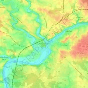
Name: Sablé-sur-Sarthe topographic map, elevation, terrain.
Average elevation: 161 ft
Minimum elevation: 66 ft
Maximum elevation: 262 ft

Click on the map to display elevation.
Name: Sablé-sur-Sarthe topographic map, elevation, terrain.
Average elevation: 161 ft
Minimum elevation: 66 ft
Maximum elevation: 262 ft