
Großer Leppleskofel topographic map
Interactive map
Click on the map to display elevation.
About this map
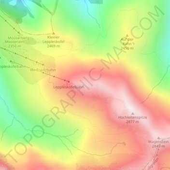
Name: Großer Leppleskofel topographic map, elevation, terrain.
Average elevation: 7,933 ft
Minimum elevation: 6,332 ft
Maximum elevation: 9,327 ft