
Émeres topographic map
Interactive map
Click on the map to display elevation.
About this map
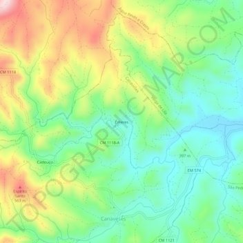
Name: Émeres topographic map, elevation, terrain.
Location: Émeres, Canaveses, Valpaços, Vila Real, Portugal (41.50021 -7.38103 41.54021 -7.34103)
Average elevation: 1,401 ft
Minimum elevation: 1,050 ft
Maximum elevation: 1,995 ft