
Cubujuquí topographic map
Interactive map
Click on the map to display elevation.
About this map
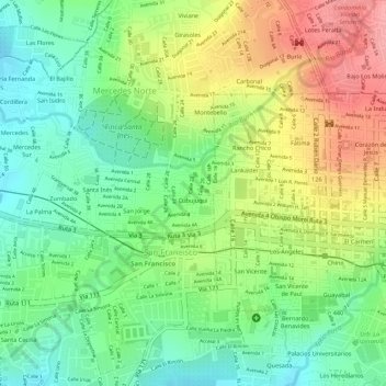
Name: Cubujuquí topographic map, elevation, terrain.
Average elevation: 3,711 ft
Minimum elevation: 3,540 ft
Maximum elevation: 3,927 ft
Other topographic maps
Click on a map to view its topography, its elevation and its terrain.
Mercedes
Costa Rica > Provincia Heredia > Mercedes
Mercedes, Cantón Heredia, Provincia Heredia, 40102, Costa Rica
Average elevation: 3,714 ft