
Muara Beliti topographic map
Interactive map
Click on the map to display elevation.
About this map
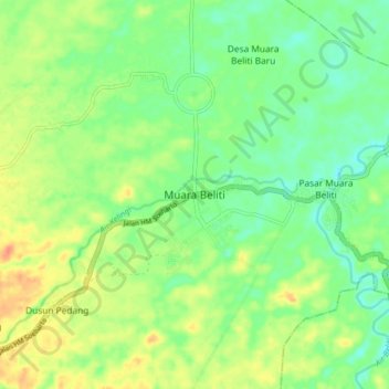
Name: Muara Beliti topographic map, elevation, terrain.
Location: Muara Beliti, Sumatra du Sud, Indonésie (-3.28333 102.97099 -3.20333 103.05099)
Average elevation: 200 ft
Minimum elevation: 144 ft
Maximum elevation: 272 ft