
Friera topographic map
Interactive map
Click on the map to display elevation.
About this map
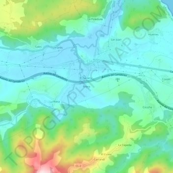
Name: Friera topographic map, elevation, terrain.
Location: Friera, Colunga, Astúrias, 33320, Espanha (43.45923 -5.29287 43.49923 -5.25287)
Average elevation: 259 ft
Minimum elevation: -3 ft
Maximum elevation: 1,037 ft