
Niederbüren topographic map
Interactive map
Click on the map to display elevation.
About this map
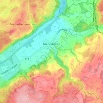
Name: Niederbüren topographic map, elevation, terrain.
Location: Niederbüren, Wahlkreis Wil, St. Gallen, 9246, Zwitserland (47.44104 9.17827 47.48456 9.24544)
Average elevation: 1,801 ft
Minimum elevation: 1,539 ft
Maximum elevation: 2,073 ft