
碧沙岗公园 topographic map
Interactive map
Click on the map to display elevation.
About this map
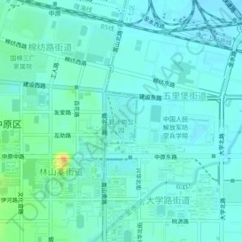
Name: 碧沙岗公园 topographic map, elevation, terrain.
Location: 碧沙岗公园, 林山寨街道, 中原区, 郑州市, 金水区, 河南省, 中国 (34.74967 113.62230 34.75548 113.62660)
Average elevation: 367 ft
Minimum elevation: 341 ft
Maximum elevation: 469 ft
Other topographic maps
Click on a map to view its topography, its elevation and its terrain.