
Heggedal topographic map
Interactive map
Click on the map to display elevation.
About this map
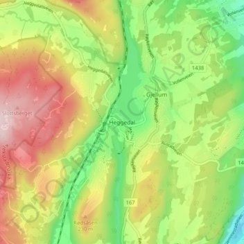
Name: Heggedal topographic map, elevation, terrain.
Location: Heggedal, Asker, Akershus, 1389, Norwegen (59.76722 10.41704 59.80722 10.45704)
Average elevation: 518 ft
Minimum elevation: 59 ft
Maximum elevation: 1,066 ft
Other topographic maps
Click on a map to view its topography, its elevation and its terrain.