
中峰镇 topographic map
Interactive map
Click on the map to display elevation.
About this map
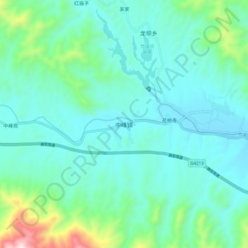
Name: 中峰镇 topographic map, elevation, terrain.
Location: 中峰镇, 竹溪县, 十堰市, 湖北省, 中国 (32.28561 109.60610 32.36561 109.68610)
Average elevation: 1,952 ft
Minimum elevation: 1,460 ft
Maximum elevation: 4,196 ft