
Delegación Felipe Carrillo Puerto topographic map
Interactive map
Click on the map to display elevation.
About this map
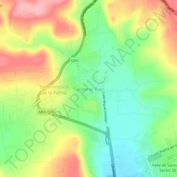
Name: Delegación Felipe Carrillo Puerto topographic map, elevation, terrain.
Average elevation: 6,152 ft
Minimum elevation: 5,951 ft
Maximum elevation: 6,398 ft