Pré d'en Haut topographic map
Interactive map
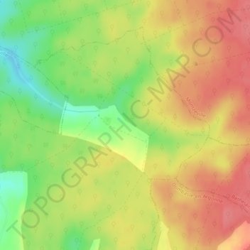
Click on the map to display elevation.
About this map
Name: Pré d'en Haut topographic map, elevation, terrain.
Average elevation: 942 ft
Minimum elevation: 807 ft
Maximum elevation: 1,037 ft

Click on the map to display elevation.
Name: Pré d'en Haut topographic map, elevation, terrain.
Average elevation: 942 ft
Minimum elevation: 807 ft
Maximum elevation: 1,037 ft