Geolocate

Bunde topographic map

Click on the map to display elevation.

About this map
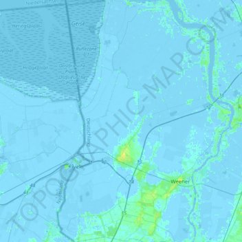
Name: Bunde topographic map, elevation, terrain.

Location: Bunde, Landkreis Leer, Lower Saxony, 26831, Germany (53.11286 7.17890 53.31835 7.32016)

Average elevation: 0 ft

Minimum elevation: -20 ft

Maximum elevation: 36 ft

Gear up for your next adventure:

📖Nature Tracking Books - Learn to track wildlife and terrain
😴Insulated Sleeping Pads - Compact and warm pads for high-elevation camping
🧥Men's Rain Shells - Premium waterproof and breathable jackets for mountain weather
🛏️Cold Weather Sleeping Bag - Warm sleeping bag for cold conditions
🛰️Handheld GPS Units - Professional satellite navigators for precise backcountry mapping

As an Amazon Associate, this site earns from qualifying purchases at no extra cost to you.