
Boulder Glacier topographic map
Interactive map
Click on the map to display elevation.
About this map
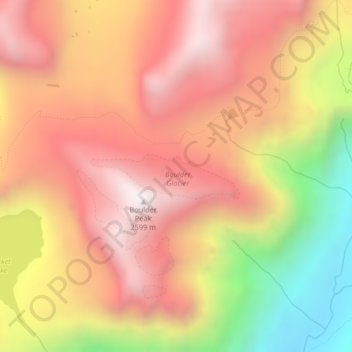
Name: Boulder Glacier topographic map, elevation, terrain.
Average elevation: 6,906 ft
Minimum elevation: 4,449 ft
Maximum elevation: 8,504 ft
Other topographic maps
Click on a map to view its topography, its elevation and its terrain.
Kintla Glacier
USA > Montana > Wurtz Hill
Kintla Glacier, Boulder Pass, Wurtz Hill, Flathead County, Montana, USA
Average elevation: 7,664 ft
Herbst Glacier
USA > Montana > Wurtz Hill
Herbst Glacier, Boulder Pass, Wurtz Hill, Flathead County, Montana, USA
Average elevation: 6,624 ft