
Dohan topographic map
Interactive map
Click on the map to display elevation.
About this map
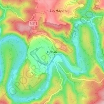
Name: Dohan topographic map, elevation, terrain.
Location: Dohan, Bouillon, Luxemburg, Wallonië, België (49.77737 5.12186 49.81737 5.16186)
Average elevation: 974 ft
Minimum elevation: 709 ft
Maximum elevation: 1,348 ft