
谦六彝族乡 topographic map
Interactive map
Click on the map to display elevation.
About this map
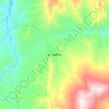
Name: 谦六彝族乡 topographic map, elevation, terrain.
Location: 谦六彝族乡, 澜沧拉祜族自治县, 普洱市, 云南省, 中国 (22.85750 100.13600 22.93750 100.21600)
Average elevation: 4,482 ft
Minimum elevation: 2,867 ft
Maximum elevation: 7,251 ft
Other topographic maps
Click on a map to view its topography, its elevation and its terrain.