
Rumah Kabanjahe topographic map
Interactive map
Click on the map to display elevation.
About this map
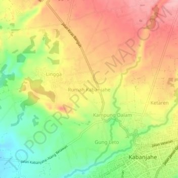
Name: Rumah Kabanjahe topographic map, elevation, terrain.
Location: Rumah Kabanjahe, Karo, North Sumatra, 22171, Indonesia (3.09605 98.45706 3.13605 98.49706)
Average elevation: 3,953 ft
Minimum elevation: 3,681 ft
Maximum elevation: 4,193 ft