
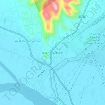
Ibrahimpatnam topographic map
Interactive map
Click on the map to display elevation.
About this map
Name: Ibrahimpatnam topographic map, elevation, terrain.
Location: Ibrahimpatnam, NTR, Andhra Pradesh, 521456, India (16.57400 80.50253 16.61400 80.54253)
Average elevation: 138 ft
Minimum elevation: 56 ft
Maximum elevation: 892 ft