
Maltby Lakes West Dam topographic map
Interactive map
Click on the map to display elevation.
About this map
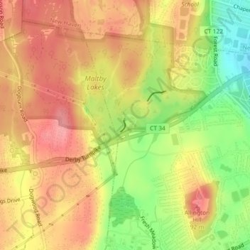
Name: Maltby Lakes West Dam topographic map, elevation, terrain.
Average elevation: 197 ft
Minimum elevation: 20 ft
Maximum elevation: 312 ft
Other topographic maps
Click on a map to view its topography, its elevation and its terrain.
Sea Bluff
United States > Connecticut > South Central Connecticut Planning Region > West Haven
Sea Bluff, West Haven, South Central Connecticut Planning Region, Connecticut, 06516, United States
Average elevation: 46 ft