
卓家村 topographic map
Interactive map
Click on the map to display elevation.
About this map
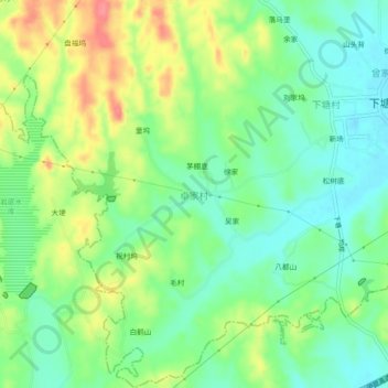
Name: 卓家村 topographic map, elevation, terrain.
Location: 卓家村, 下塘乡, 玉山县, 上饶市, 江西省, 中国 (28.58959 118.05620 28.62959 118.09620)
Average elevation: 364 ft
Minimum elevation: 266 ft
Maximum elevation: 518 ft