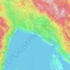
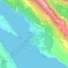
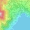
Krk topographic map
Click on the map to display elevation.
Krk
The island forms part of the Kvarner Islands Important Bird Area (IBA), designated as such by BirdLife International because it supports significant numbers of many bird species, including breeding populations of several birds of prey. A Eurasian griffon vulture colony lives in a protected area called Kuntrep. There they breed at low elevations, with some nests at 10 m (33 ft). Therefore, contact with people is common.
About this map
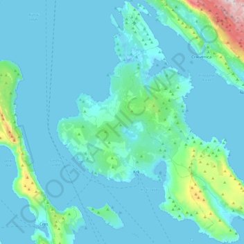
Name: Krk topographic map, elevation, terrain.
Location: Krk, Primorje-Gorski Kotar County, Croatia (44.93460 14.43080 45.24570 14.82048)
Average elevation: 312 ft
Minimum elevation: -13 ft
Maximum elevation: 3,553 ft
Other topographic maps
Click on a map to view its topography, its elevation and its terrain.