
Hadjer Agous topographic map
Interactive map
Click on the map to display elevation.
About this map
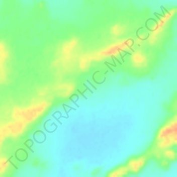
Name: Hadjer Agous topographic map, elevation, terrain.
Location: Hadjer Agous, Ennedi Est, Tchad (15.79651 23.43477 15.79661 23.43487)
Average elevation: 2,615 ft
Minimum elevation: 2,562 ft
Maximum elevation: 2,690 ft
Other topographic maps
Click on a map to view its topography, its elevation and its terrain.