
Kilham topographic map
Interactive map
Click on the map to display elevation.
About this map
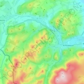
Name: Kilham topographic map, elevation, terrain.
Location: Kilham, Northumberland, North of Tyne, England, United Kingdom (55.52841 -2.27368 55.61061 -2.13736)
Average elevation: 614 ft
Minimum elevation: 128 ft
Maximum elevation: 1,752 ft