
Bout-du-Pont-de-l'Arn topographic map
Interactive map
Click on the map to display elevation.
About this map
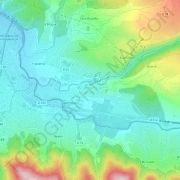
Name: Bout-du-Pont-de-l'Arn topographic map, elevation, terrain.
Average elevation: 1,017 ft
Minimum elevation: 682 ft
Maximum elevation: 1,880 ft