
Sigerland topographic map
Interactive map
Click on the map to display elevation.
About this map
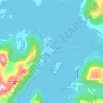
Name: Sigerland topographic map, elevation, terrain.
Location: Sigerland, Øksnes, Nordland, Norwegen (68.76425 14.87302 68.80425 14.91302)
Average elevation: 223 ft
Minimum elevation: -23 ft
Maximum elevation: 1,781 ft