
Langeln topographic map
Interactive map
Click on the map to display elevation.
About this map
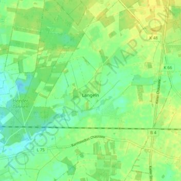
Name: Langeln topographic map, elevation, terrain.
Location: Langeln, Rantzau, Pinneberg, Schleswig-Holstein, Deutschland (53.77896 9.82876 53.82320 9.88358)
Average elevation: 75 ft
Minimum elevation: 43 ft
Maximum elevation: 105 ft