
Carangas topographic map
Interactive map
Click on the map to display elevation.
About this map
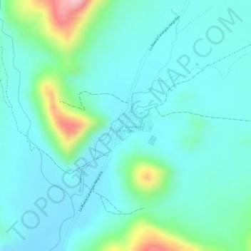
Name: Carangas topographic map, elevation, terrain.
Location: Carangas, Provincia Mejillones, Oruro, Bolivien (-18.94164 -68.62637 -18.93843 -68.62210)
Average elevation: 12,799 ft
Minimum elevation: 12,657 ft
Maximum elevation: 13,307 ft
Other topographic maps
Click on a map to view its topography, its elevation and its terrain.