
Koléa topographic map
Interactive map
Click on the map to display elevation.
About this map
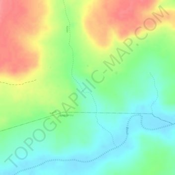
Name: Koléa topographic map, elevation, terrain.
Location: Koléa, Kandi, Alibori, Benin (10.91343 3.18248 10.93179 3.19010)
Average elevation: 830 ft
Minimum elevation: 709 ft
Maximum elevation: 981 ft