
Schlabing topographic map
Interactive map
Click on the map to display elevation.
About this map
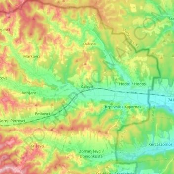
Name: Schlabing topographic map, elevation, terrain.
Location: Schlabing, 9204, Slowenien (46.77091 16.17528 46.87668 16.31302)
Average elevation: 928 ft
Minimum elevation: 709 ft
Maximum elevation: 1,243 ft