
Eichenzell topographic map
Interactive map
Click on the map to display elevation.
About this map
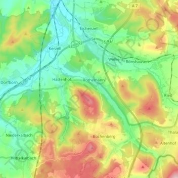
Name: Eichenzell topographic map, elevation, terrain.
Location: Eichenzell, Künzell, Landkreis Fulda, Hessen, 36124, Deutschland (50.41309 9.64627 50.51127 9.79036)
Average elevation: 1,161 ft
Minimum elevation: 843 ft
Maximum elevation: 1,749 ft