
Stoneville topographic map
Interactive map
Click on the map to display elevation.
About this map
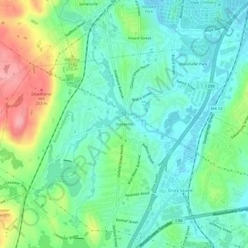
Name: Stoneville topographic map, elevation, terrain.
Location: Stoneville, Worcester, Massachusetts, 01501, USA (42.19676 -71.86591 42.23676 -71.82591)
Average elevation: 587 ft
Minimum elevation: 466 ft
Maximum elevation: 873 ft