
Quila topographic map
Interactive map
Click on the map to display elevation.
About this map
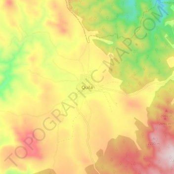
Name: Quila topographic map, elevation, terrain.
Location: Quila, Tecolotlán, Jalisco, 48546, Mexico (20.31482 -104.12375 20.39482 -104.04375)
Average elevation: 6,378 ft
Minimum elevation: 5,266 ft
Maximum elevation: 7,356 ft