
Etzenrot topographic map
Interactive map
Click on the map to display elevation.
About this map
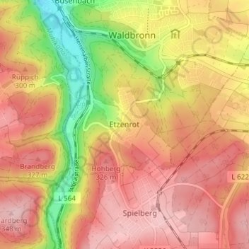
Name: Etzenrot topographic map, elevation, terrain.
Average elevation: 919 ft
Minimum elevation: 528 ft
Maximum elevation: 1,165 ft
Other topographic maps
Click on a map to view its topography, its elevation and its terrain.
Reichenbach
Deutschland > Baden-Württemberg > Landkreis Karlsruhe > Waldbronn
Reichenbach, Waldbronn, Landkreis Karlsruhe, Baden-Württemberg, 76337, Deutschland
Average elevation: 853 ft