
Portel topographic map
Interactive map
Click on the map to display elevation.
About this map
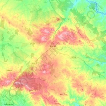
Name: Portel topographic map, elevation, terrain.
Location: Portel, Évora, Alentejo Central, Alentejo, Portugal (38.23323 -7.83860 38.36101 -7.60913)
Average elevation: 873 ft
Minimum elevation: 463 ft
Maximum elevation: 1,345 ft