Geolocate

Lake Travis topographic map

Click on the map to display elevation.

About this map

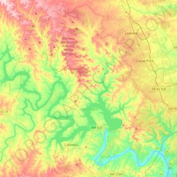
Name: Lake Travis topographic map, elevation, terrain.

Location: Lake Travis, Briarcliff, Travis County, Texas, United States (30.35780 -98.25717 30.57138 -97.87198)

Average elevation: 938 ft

Minimum elevation: 495 ft

Maximum elevation: 1,532 ft

Travis County trails, hiking, mountain biking, running and outdoor activities

Gear up for your next adventure:

❄️Traction Cleats - Prevent slips on icy trails during winter hikes
📚Navigation Handbooks - Master the art of reading topographic maps and using a compass
🪶Camping Sleeping Pad - Comfortable sleeping pad for backpacking
🪶Camp Gear Gift Set - Perfect gift bundle for outdoor fans
🪶Thermal Camp Blanket - Extra warmth for cold nights

As an Amazon Associate, this site earns from qualifying purchases at no extra cost to you.