
Sajama topographic map
Interactive map
Click on the map to display elevation.
About this map
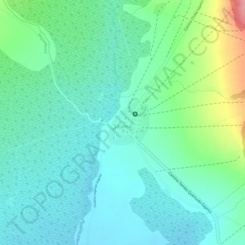
Name: Sajama topographic map, elevation, terrain.
Location: Sajama, Provincia Sajama, Oruro, Bolivia (-18.13783 -68.97758 -18.13322 -68.97331)
Average elevation: 13,927 ft
Minimum elevation: 13,816 ft
Maximum elevation: 14,226 ft
Other topographic maps
Click on a map to view its topography, its elevation and its terrain.