
Mucur topographic map
Interactive map
Click on the map to display elevation.
About this map
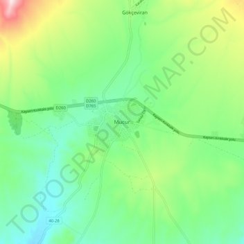
Name: Mucur topographic map, elevation, terrain.
Location: Mucur, Kırşehir, Central Anatolia Region, Turkey (39.02021 34.34005 39.10021 34.42005)
Average elevation: 3,655 ft
Minimum elevation: 3,196 ft
Maximum elevation: 4,701 ft